Annual river breakup preparations underway
Temporary closure of Clearwater Drive section set for March 8
Crews will soon begin seasonal flood mitigation preparations to help protect homes and businesses during river breakup.
Triple dams (water-filled barriers) as well as pumps and plugs for underground infrastructure will be installed where needed in downtown Fort McMurray and Taiga Nova. Seasonal measures are scheduled to be complete by March 31 and will start being removed following river breakup.
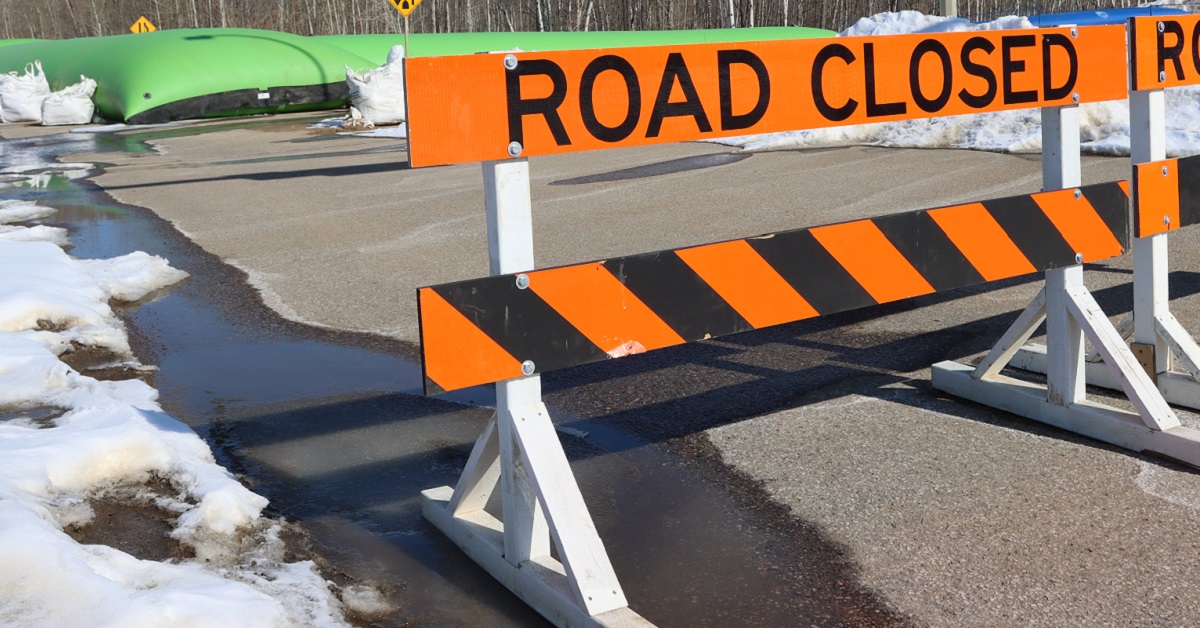
Temporary road and trail closures
While there will be temporary road and trail closures, access to all businesses and homes will be maintained.
- There is a temporary closure of the Highway 63 East Service Road in effect. For more details see the construction notice.
- On March 8, a temporary road closure will begin on Clearwater Drive between King Street and Franklin Avenue for river breakup preparations. Most trails adjacent to the Clearwater River will be closed until seasonal mitigation measures are removed. For more details, including maps, read the construction notice.
For everyone’s safety, please follow all posted signage, keep a safe distance from equipment and do not enter closed areas.
Fewer seasonal measures needed
As permanent flood mitigation measures are completed, fewer seasonal measures are required. Progress continues on the construction of permanent flood mitigation, with the most recent updates and information available at rmwb.ca/floodmitigation.
Sections of the interim clay berm along Clearwater Drive will remain in place until construction of the Reach 6 permanent flood mitigation project begins.
Follow trusted sources of information
As river breakup approaches, community members are reminded to be aware, prepare and stay informed.
- For more information on river breakup and to view a live video stream of the Athabasca River, visit rmwb.ca/riverbreakup.
- Follow the RMWB on Facebook and X (formerly Twitter) @rmwoodbuffalo)
- Visit rivers.alberta.ca or download the Alberta Rivers app for the latest information about Alberta’s rivers, including flood advisories and comments issued by Alberta’s River Forecast Centre.
Before river breakup
- Review preparedness tips
- Review community emergency guides and have a household emergency plan
- Have an emergency kit ready
What is river breakup?
In April and May, there is an increased risk of flooding when ice on the Athabasca and Clearwater rivers begins to melt and break apart. Alberta Environment and Parks and the Municipality closely monitor ice and water conditions on the river systems in the region. Regular updates on the Athabasca and Clearwater rivers will be provided beginning in April.
For more information on river breakup and to view a live video stream of the Athabasca River, visit rmwb.ca/riverbreakup.
Contact Us
PULSE
Submit a request
Phone: 780-743-7000
Toll free: 1-800-973-9663
Subscribe for RMWB updates
Stay up to date on the services, programs and projects in your neighbourhood!